
Notifications
Clear all
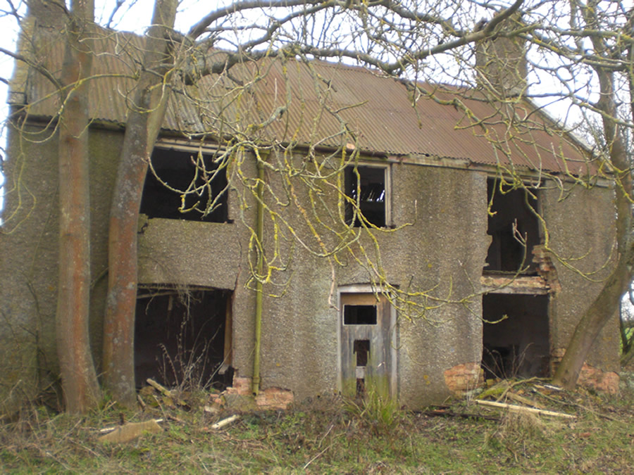
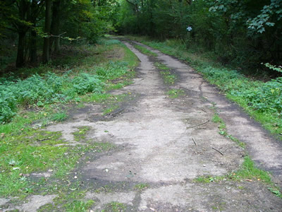
The Silencing of Merville - 2nd August 2014
1
Posts
1
Users
0
Reactions
1,423
Views

Topic starter
An historic WWII air base with a wealth of ruins and bunkers amidst 120 acres of mature woodland.
This is the old airfield on the road between Brigstock and Grafton Underwood, Northamptonshire.
Address:
Brigstock Road, Grafton Underwood, NN14 3AA
Satnav info:
Decimal Degrees
Latitude 52.42445 Longitude -0.6361
Degrees, Minutes & Seconds
Latitude N52 25 28 Longitude W0 38 09
GPS
Latitude N 52 25.467 Longitude W 0 38.166
Directions - Google maps
https://www.google.co.uk/maps/ms?msid=203266963726424078106.0004d2cda64a2a09f2114&msa=0&ll=52.42431,-0.633654&spn=0.018659,0.058579&iwloc=0004d2cda9e0ca51f3418


Posted : 03/06/2014 6:51 pm